Mapping the Future, Staking the Present
Beena Enterprises is a premier geospatial service provider delivering high-order geodetic engineering and land measurement services across construction, mining, and governmental infrastructure sectors.
Established with a vision to digitize land mapping, we have transitioned from traditional surveying techniques into advanced sensor integration. Our services encompass drone aerial photogrammetry, high-density LiDAR, and Ground Penetrating Radar (GPR) subsurface maps.

Our Mission
To empower infrastructure designers and private builders with certified spatial maps using modern geospatial sensors and loop verification techniques.
Our Vision
To build a digital twin of national landscapes, facilitating smart city developments and automated road alignment systems with zero spatial errors.
Our Values
Uncompromising mathematical accuracy, absolute transparency in land markings, rapid timelines, and compliance with national geodesic standards.
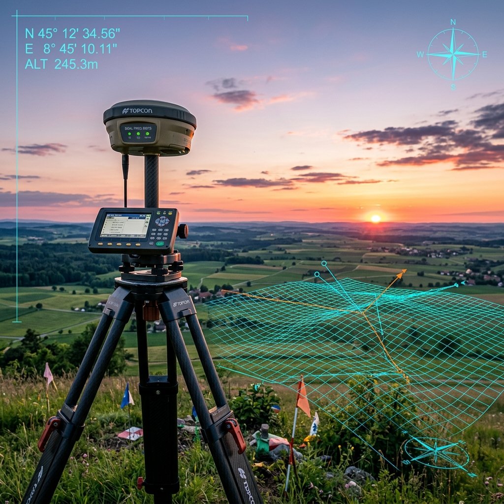
Certified Quality Standards
Our practices match ISO 9001:2015 specifications. We utilize a rigid double-verification policy, where all field data undergoes post-processing coordinate adjustment computations inside CAD loops before physical boundary stakes are certified.
CORS DGPS Network
All GPS base logs are linked with Continuously Operating Reference Stations.
Fortnightly Check
Auto-levels are calibrated using standard two-peg checks every fortnight.
Our Milestones & History
Over a decade of geospatial excellence and technological transition.
Foundation
Beena Enterprises was founded, providing traditional mapping and cadastral survey services.
DGPS Upgrades
Acquired Trimble Dual-Frequency RTK DGPS receivers, moving to sub-centimeter accuracy benchmarks.
Drone Tech Entry
Formed UAV mapping division, procuring mapping drones and obtaining DGCA pilot licenses.
3D LiDAR Scanning
Invested in advanced handheld and terrestrial LiDAR laser scanners, providing 3D point cloud assets.